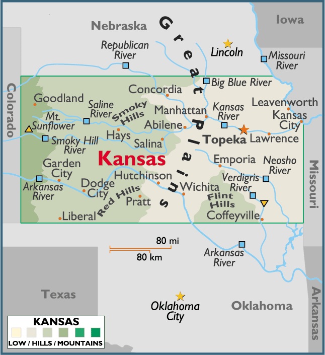
Map of Kansas
Kansas is located on the central region of United States of America. Its bordered by Colorado on the West, moving clockwise by Nebraska on its north, Missouri on its East and Oklahoma on its South.
Capital City: Topeka
Location: 39º 04′ N, 95º 69′ W
Largest City: Wichita
Location: 37º 41′ N, 97º 20′ W
Kansas geographical area and extent:
The total area of Kansas is 82,277 sq mi (213,097 sq km), of which 81,778 sq mi (211,805 sq km) are land, and the remaining 499 sq mi (1,292 sq km) inland water. Shaped like a rectangle except for an irregular corner in the NE, the state has a maximum extension E-W of about 411 mi (661 km) and an extreme N-distance of about 208 mi (335 km), with a total boundary length of 1,219 mi (1,962 km). The geographic center of Kansas is in Barton County, 15 mi (24 km) NE of Great Bend.


You must be logged in to post a comment.