Map of Illinois
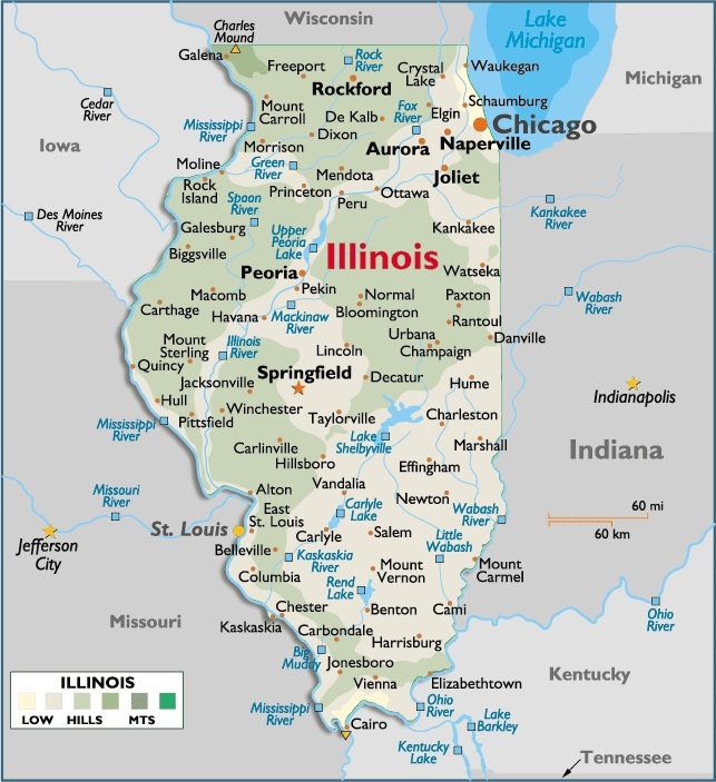
Illinois is located in the central Eastern region of North America. It’s among one of the most populated states of America.It’s bordered by the states of Indiana, Kentucky, Missouri, Iowa and Wisconsin, and by Lake Michigan.
“The Prairie State,” also commonly known as the “Land of Lincoln,” pays tribute to America’s 16th president. The young Lincoln lived and practiced law in Springfield before becoming one of our nation’s greatest leaders. President Lincoln’s historic home, burial site and new presidential library are all located in the Springfield area.
Capital City: Springfield
Location: 39º 83′ N, 89º 64′ W
Commercial City: Chicago
Location: 41º 88′ N, 87º 63′ W


Crystal Springs, IL

You must be logged in to post a comment.