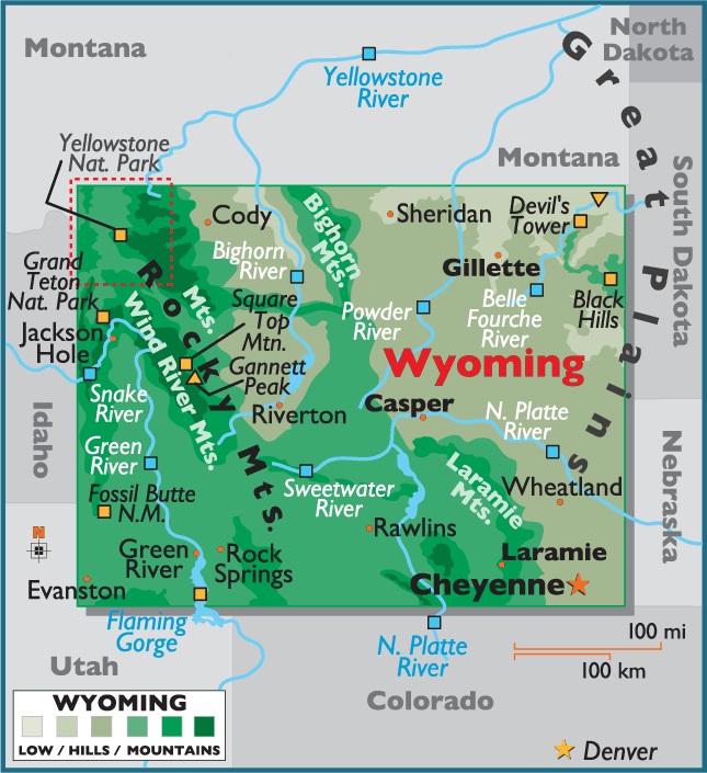
Map of Wyoming, USA
Capital city: Cheyenne
Location: 41º 08′ N, 104º 49′ W
Commercial city: Cody
Location: 44º 31′ N, 109º 03′ W
Geographical area and extent:
Located in the Rocky Mountain region of the northwestern US, Wyoming ranks 9th in size among the 50 states.
The total area of Wyoming is 97,809 sq mi (253,325 sq km), of which land comprises 96,989 sq mi (251,201 sq km) and inland water 820 sq mi (2,124 sq km). Shaped like a rectangle, Wyoming has a maximum E-W extension of 365 mi (587 km); its extreme distance N-S is 265 mi (426 km).
Wyoming is bordered on the N by Montana; on the E by South Dakota and Nebraska; on the S by Colorado and Utah; and on the W by Utah, Idaho, and Montana. The boundary length of Wyoming totals 1,269 mi (2,042 km). The state’s geographic center lies in Fremont County, 58 mi (93 km) ENE of Lander.

You must be logged in to post a comment.