Map of Delware
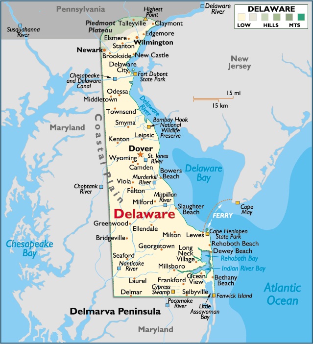
Delaware is located in the South Atlantic region of the United States. It’s bordered by Maryland on the West and Southwest, Pennsylvania on the North, New Jersey and the Atlantic Ocean on the Northeast, Delaware Bay on the East and Delaware River.
Delaware enjoys a mild year-round climate with average monthly temperatures ranging from 78 degrees in summer to 32 degrees in winter.
Temperatures along the coastline are usually warmer in winter and cooler, and more comfortable in summer.
Yearly precipitation amounts are near 40 inches, and almost 60% of days are sunny.
The Dutch were the first Europeans to actually settle in Delaware; they established a small trading post at Zwaanendael, near present-day Lewes in 1631. Within a year their settlement was burned to the ground and all were dead; killed by Indians.
In 1638, the Swedes established a permanent colony at Fort Christina (now Wilmington), and a few additional forts along the Delaware Bay. By 1655, the Dutch took control of the upstart Swedish colony, incorporating it into their Colony of New Netherlands.
Capital City: Dover
Location: 39º 16′ N, 75º 52′ W
Commercial city: Wilmington
Location: 39º 74′ N, 75º 54′ W


You must be logged in to post a comment.