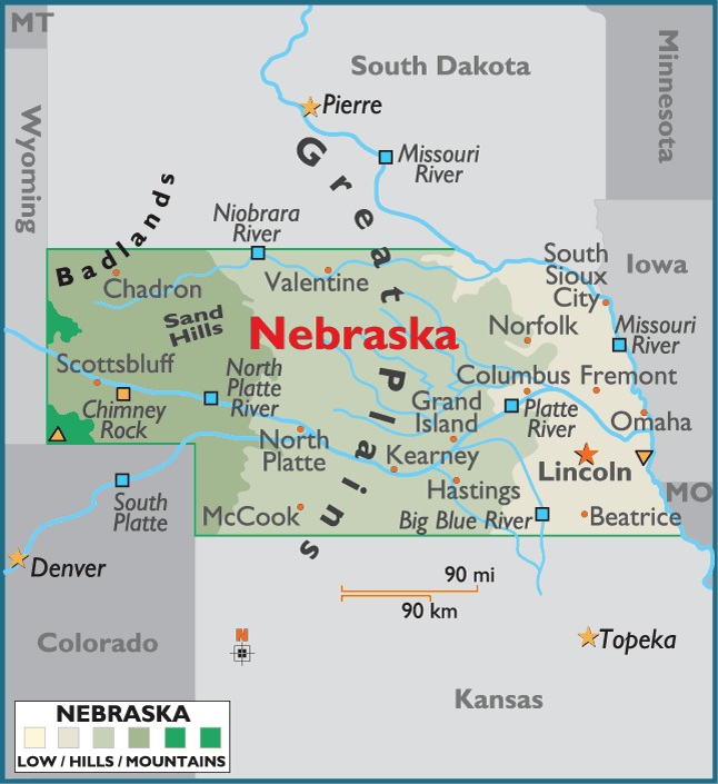
Map of Nebraska, USA
Capital City: Lincoln
Location: 40º 86′ N, 96º 68′ W
Popular City: Omaha
Location: 41º 25′ N, 95º 99′ W
Located in the western north-central US, Nebraska ranks 15th in size among the 50 states. The total area of the state is 77,355 sq mi (200,349 sq km), of which land takes up 76,644 sq mi (198,508 sq km) and inland water 711 sq mi (1,841 sq km). Nebraska extends about 415 mi (668 km) E-W and 205 mi (330 km) N-S.
Nebraska is bordered on the N by South Dakota (with the line formed in part by the Missouri River); on the E by Iowa and Missouri (the line being defined by the Missouri River); on the S by Kansas and Colorado; and on the W by Colorado and Wyoming. The boundary length of Nebraska totals 1,332 mi (2,143 km). The state’s geographic center is in Custer County, 10 mi (16 km) NW of Broken Bow.


You must be logged in to post a comment.