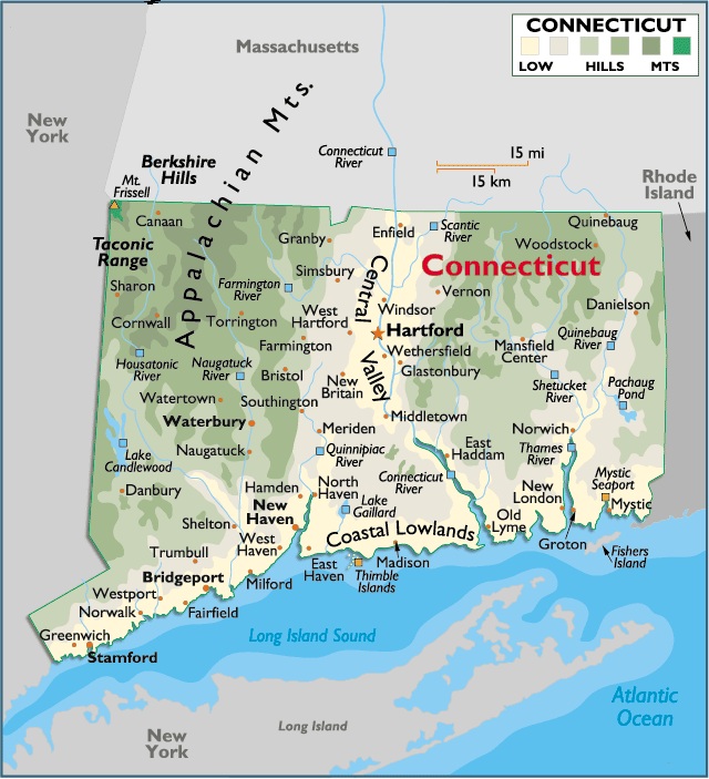
Map of Connecticut
Connecticut is located on the Northeastern part of the United States commonly known as New England. It is bordered by New York state on its West, Massachusetts on its North, Rhode Island on its East and the Atlantic Ocean on the South.
Temperature: Its temperature reflects the typical climate of the Northeastern States. Spring is short, while summers are generally hot and humid, with cooler weather in the hills and mountain areas. Fall is definitely cooler, especially at night, and winters can be long and severe with heavy snow. The statewide average high temperature in July is in the mid-70s, and in January, high temps are usually in the mid-20s.
Capital City: Hartford
Location: 41° 76′ N, 72° 67′ W
Commercial city: New Haven
Location: 41° 31′ N, 72° 93′ W


You must be logged in to post a comment.